Marbella steps up river mouth openings ahead of the heavy rain forecast under Storm Adam
The town hall is working on five rivers and five streams along the coast as AEMET places Sunday and Monday as the most adverse days of the episode, with the Costa del Sol among the areas where the largest totals could be recorded.
Translated from the Spanish original. Leer en español
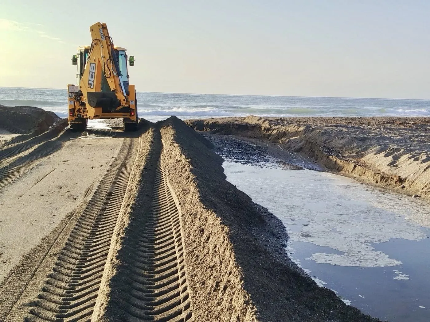
Marbella town hall has stepped up work to open the mouths of the municipality's main rivers and streams ahead of the heavy rain forecast over the coming days, the council reported on Friday. The work is being carried out through the Beaches delegation and aims to make it easier for water to flow out to sea.
Crews are working at the mouths of the Guadalmina, Guadaiza, Río Verde, Guadalpín and Río Real rivers, and at the Chopo, Represa, Primero, Segundo and Real de Zaragoza streams. The stated aim is to prevent build-ups that could hinder drainage when the rain arrives.
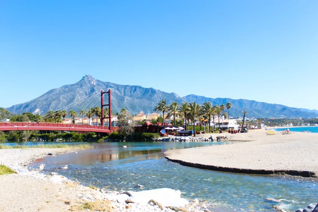
Machinery on the sand and channel clearing
The work mainly involves opening the channels where they meet the shoreline using specialised machinery, removing and redistributing the sand accumulations created by the natural dynamics of the beaches, which can narrow or partly close the mouths. The municipal department places the work within the continuous maintenance it carries out all year on the channels of the Marbella coastline.
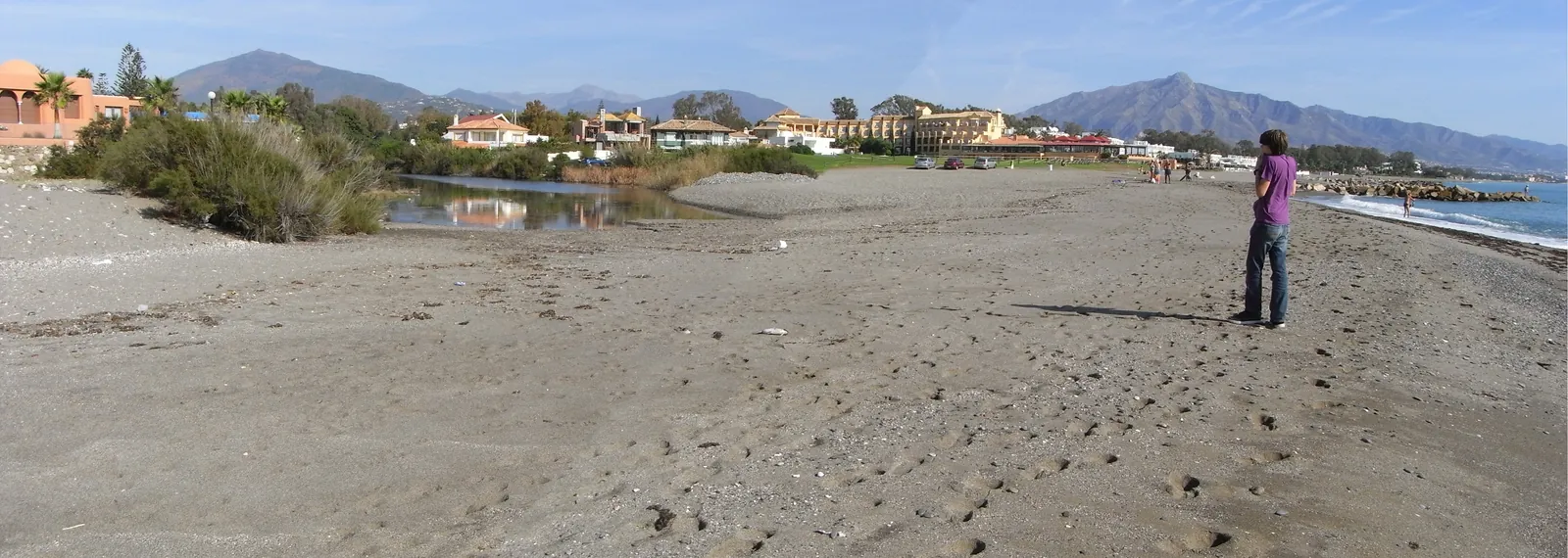
Alongside the openings, the Beaches delegation also carries out periodic cleaning and conditioning of the channels, removing waste, plant remains and other materials that could obstruct the flow of water. In view of the expected weather warnings, the council has reinforced the work at the most sensitive points and will keep monitoring mouths and channels so it can intervene again wherever needed, depending on how the weather evolves.
Storm Adam puts the focus on Sunday and Monday
The municipal reinforcement comes on the eve of the episode that the State Meteorological Agency (AEMET) has described in an information note linked to a cut-off low over the north of the Iberian Peninsula, the first high-impact system of the season, which the agency has named Adam. Instability will begin to be felt this Saturday, with stormy showers across much of the southern half of the country, and the most adverse spell will be concentrated between Sunday 18 and Monday 19 over wide areas of the Mediterranean coast and the Balearic Islands.
Among the areas where the largest totals could be recorded, AEMET includes the Costa del Sol, alongside eastern Catalonia, the area north of Cape Nao, the Alicante and Murcia coastlines and the Pityusic Islands, and it expects the most intense rainfall on Monday to possibly persist around Cape Nao and on the Costa del Sol. The agency does not rule out totals of between 150 and 250 litres per square metre in a few hours, and even higher amounts, in the most exposed areas. That is a general forecast for the points most affected by the episode, not observed amounts and not a specific prediction for Marbella.
AEMET warns of a risk of local flooding, above all in low-lying areas, and of sudden rises in gullies and ravines, and it stresses that high uncertainty remains over the final position of the cut-off low and the exact distribution of the rain. The episode will also bring a general drop in temperatures and will begin to ease from Tuesday 20.
In that context, the town hall reminds residents of the importance of taking extra care in the event of any weather warning or alert, following the recommendations of the authorities and the emergency services and consulting only official sources for the evolution of warnings and possible incidents, while avoiding the spread of unverified information.